For the second of my two walks in Lanzarote, I am moving away from the high volcanic `new` plains of the National Park of Timanfaya, and travelling North East and into the more grass sloped volcanic mountains that make up the bulk of the island, and actually hold the highest peaks of the island of Lanzarote.
Rather like the lastwalk, I am actually going to take us to two mountains but with two essential differences. The first difference is that once one has been completed, I am going to hop back in the car for 10 minutes to get to the base of the second volcano, but the second and biggest difference is that here –out of the National Park –we can walk up the volcanoes and therefore get a true view of the island and the line that the volcanoes have taken (running North East to South West).
I started just outside of the town of Costa Teguise. The parking here is easy, just pull up on the side of the road, and instantly step off to the right and we find ourselves walking between volcanic strewn rocks and boulders but with the difference of there now being vegetation a plenty, as well as butterflies, lizards and for the first and only time that I have yet seen these birds in the wild I was also lucky enough to disturb (on two separate occasions) Hoopoe birds. How lucky am I?
Criss-crossing the tracks that run between the boulders, but always heading North and towards the imposing sight of Montana de Tinaguache (at 235 m) and we make our way towards the Eastern flank of the caldera. This mountain has three ridge edges which run from East to West through the North, thus leaving the Southern edge collapsed and exposing the inner heart of the caldera. This gives the mountain an impressive structure as well as providing us with anideal footpath up and around. This view also helps to structure our walk, as even from a distance we can see that it will be easier to ascend from the East and descend on the West. This is what I did, so imagine my surprise when I was met (coming in theopposite direction) a young German family running –yes I did say running, and sadly I was breathing heavier than they were. German efficiency I suppose!
Tracking along the narrow edge of the Northern section of the caldera reminded me very much of Striding Edge in the Lake District, and care needed to be taken with footing. This care was made slightly more difficult by the irritating buzzing of a drone as it flew up and around the mountain to save some soul from actually walking!
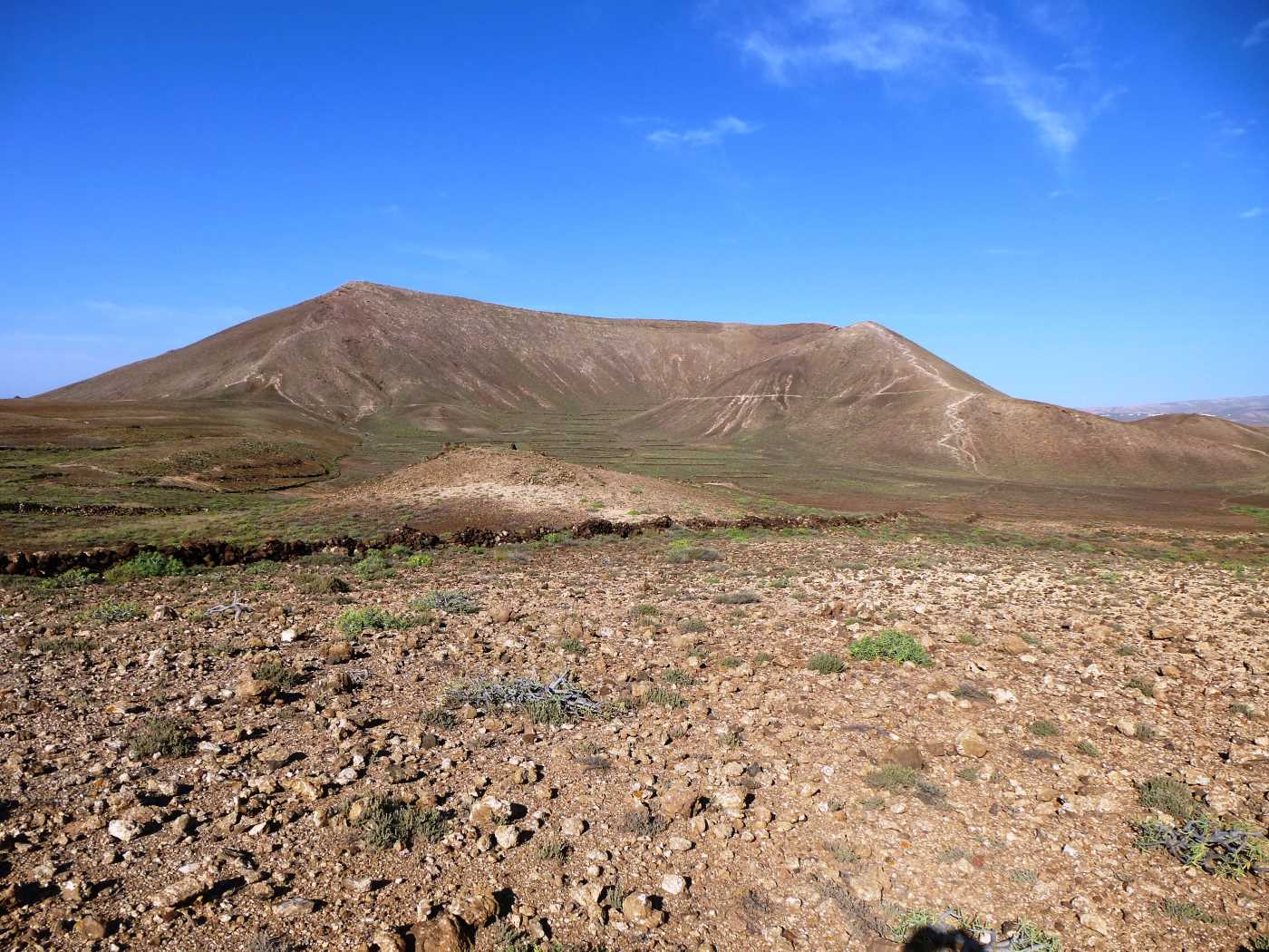
On the Western edge is the highest point and from here if we look North West we can see Montana de Tahiche, which is our next objective, but first we have to descend quite a steep and slippery slope down to the basin and back towards the car by a secondary path that follows the line of the road but enables us to not retrace our steps.
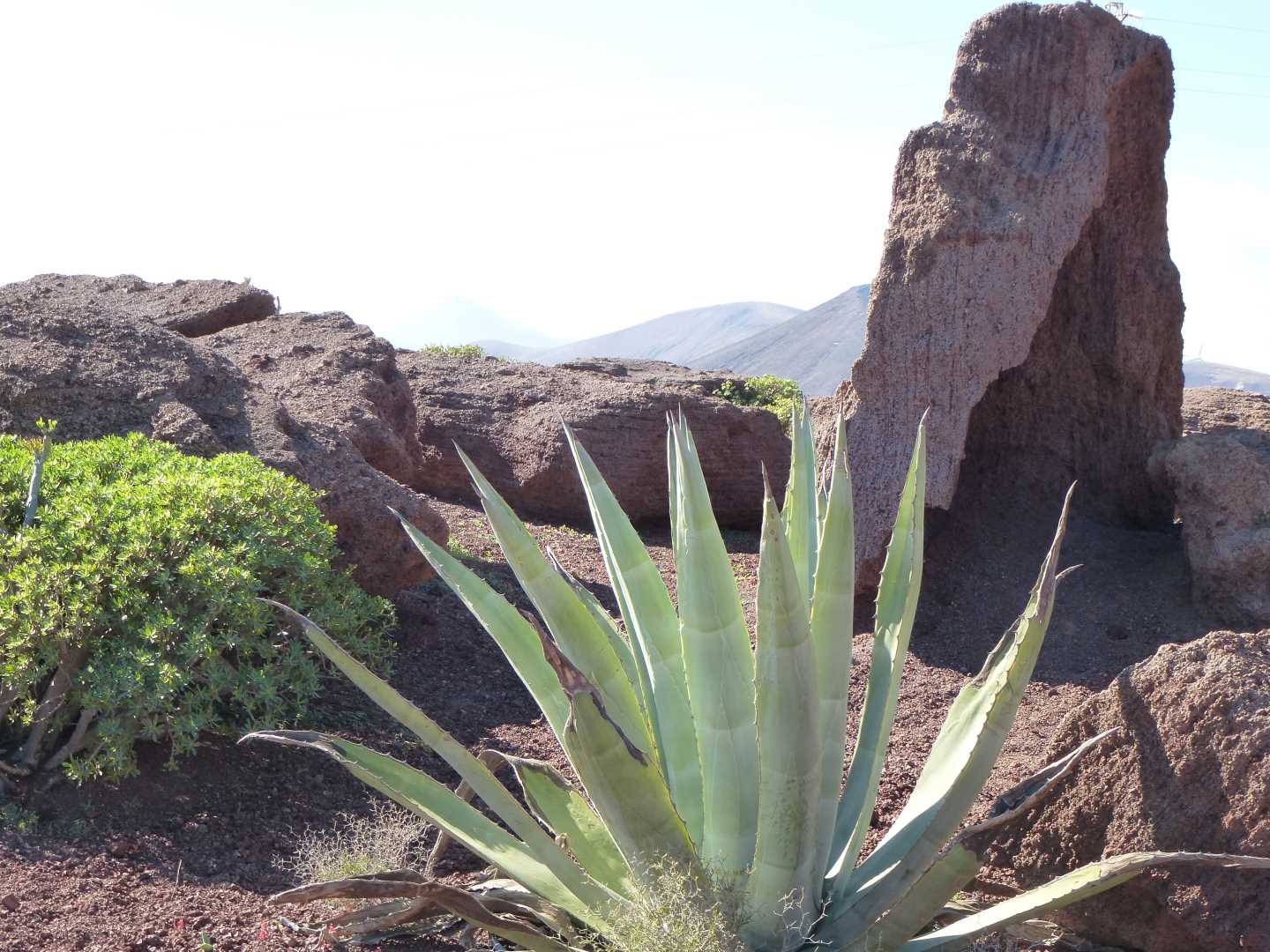
Back at the car, we drive up the road for 10 minutes towards the town of Tahiche, but stopping just short and under the shadow of the mountain, where there is an old quarry car park which has been improved to give the locals a superb picnic area. Parking here and walking into the old quarry where the coloured layers of volcanic dust make for an impressive back drop, we walk East around the base of Montana de Tahiche (at 321 m) and on around and slightly up as we start to loop back around as we start heading North. As the path climbs we have an option of turning off to our left and almost straight up towards the summit whilst staying on what is now the Southern edge of the caldera. This path is quite loose and I felt that particular care needed to be taken with foot placement –not because I was worried about falling, but rather I did not wish to damage the low lying flowering plants that cling to life on this exposed face.
Reaching the top, we find an ideal spot to sit on the concrete base of an old flag mast, and to again take in the view and look back at our earlier walk. There is another advantage for looking around whilst here. That is that unlike our first walk today, we see that this mountain is actually the result of potentially 3 separate eruptions, as we see that there are actually 3 calderas on this mountain, and that if we walk around the outer main edge, we can look down into all 3 as we walk around the top in a clockwise direction before rejoining our path down to the base and then back around to the car.
A note for the walker. This walk is a lot easier on the footwear, but (as is often the case inLanzarote) there can be quite a breeze. This sea breeze can be deceptively cooling and refreshing and it is quite easy on a hot day to not stop and take on plenty of refreshment.
Thank you for reading, and I hope that this has given you an appetite for not just lying on a beach!