Kerrier

Carnmenellis

Carnmenellis

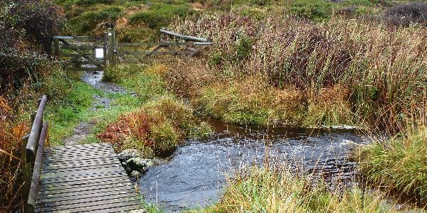
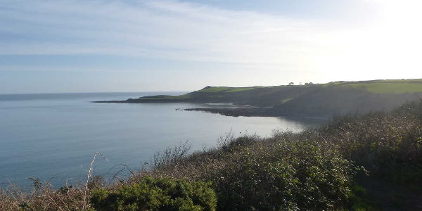
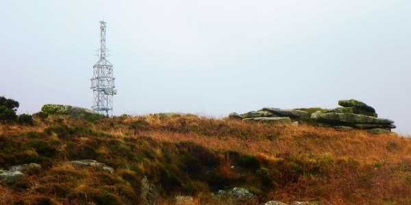
This is one of Cornwall`s five Marilyn`s. Carnmenellis has a highest point of 252m, and a prominence of 165m. This is a good circular walk around the outskirts of the hill (as the highest point is on private land). It is within touching distance of Stithians reservoir, so relatively centrally based.


OS Explorer Map: 104
Start Ref: 6885 3635
End Ref: 6885 3635

Grading: Easy
Distance: 3 miles
Time: 1.5hrs


A wooden footbridge on The Lizard

The Lizard

This lovely, and mostly flat walk, sees us starting and finishing at Lizard, but unlike many others that will also be as far south on the British mainland as it is possible to be, we are going to stay inland and take in Lizard Downs and Lower Predannack Downs. It will take us above Kynance Cove with its beautiful views and across many streams (an absolute delight for those who are young at heart).

OS Explorer Map: 103
Start Ref: 703 126
End Ref: 703 126

Grading: Easy
Distance: 6 miles (3 miles short version)
Time: 3hrs (1.5hrs short version)

A view of the headland with the sea in the distance

Helford

This circular walk, initially takes us along the tree lined banks of the Helford River before taking us out to Dennis Head and its clear views back all the way to Rame Head, and then heading back past the Church on the beach at St. Anthony-in-Meneage and then further into the tree lined valleys and fields to Manaccan and then back to Helford.


OS Explorer Map: 103
Start Ref: 759 261
End Ref: 759 261

Grading: Easy
Distance: 5.5 miles
Time: 3hrs


A view of the headland with the sea in the distance

Treleaver

Although Treleaver is our start point, the nearby Coverack is our mid (ish) waypoint where I would suggest a lunch stop or at the very least an ice cream and a sit on the beach. Coverack is a beautiful Cornish fishing village/harbour nestled on The Lizard Peninsular. With its beautiful beach, quaint (but very operational) harbour, thatched cottages and superb coastal views, it is an ideal place to stop and enjoy life before the final easy mile of walking back to the car.


OS Explorer Map: 103
Start Ref: 773 169
End Ref: 773 169

Grading: Medium -
Distance: 4 miles
Time: 2.5hrs