Lesnewth

Trevague

Trevague

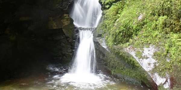
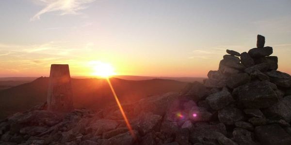
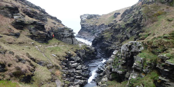
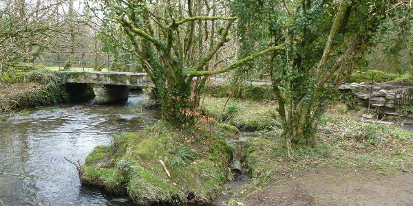
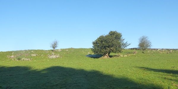
Trevague For this walk in my series, I am returning to my families historical roots, the little hamlet of Trevage (or Trevague as it is now known). This relatively small walk is only a short distance from the main A30 trunk road, and skirts the edge of the little walked East Moor. It takes us over fords and bridges, through woods, fields and moorland, past hamlets and isolated houses. I hope you enjoy.


OS Explorer Map: 108
Start Ref: 454 534
End Ref: 454 534

Grading: Easy
Distance: 6 miles
Time: 3hrs

St. Nectans Glen

St. Nectan's Glen

This circular walk takes in a waterfall that I have long wanted to walk to, but always avoided thinking that it would be very busy. For my visit, I started the walk early to avoid (being a miserable and unsociable sort) too many people. However, this may soon change, as this location has just been voted (July 2018) as the third most popular place to give us a happy feeling! You can easily do this walk and enjoy the valley without having to pay, however, the waterfall is beautiful. I leave it up to you.

OS Explorer Map: 111
Start Ref: 076 893
End Ref: 076 893
Grading: Medium - Hard
Distance: 2 miles
Time: 2hrs

Brown Willy

Brown Willy

This is the highest, and arguably, best known of our Cornish Marilyn`s. At a height of 420m, it cuts an impressive figure in the heart of Bodmin Moor (more precisely, High Moor on Brownwilly Downs). Like Kit Hill (featured in the East Ryslegh Hundred), it has an English name and a Cornish name. Its Cornish name is Bronn Wennili, and translated into English this means Hill of Swallows, but its native name has been slightly corrupted (much to the amusement of many a child - and adult). For this walk I shall be referring to it by its proper Cornish name! Walking to Bronn Wennili is almost a rite of passage for most of us Cornish, but is more often approached from the Camelford side. For the purpose of this walk though, I am going to lead you through a direction that I first did with my father many years ago, and has become a firm favourite.


OS Explorer Map: 109
Start Ref: 1840 8268
End Ref: 1840 8268

Grading: Medium
Distance: 6 miles
Time: 3.5hrs

Bossiney

Bossiney


This circular coastal walk finds us in fields, overlooking high waterfalls, traversing along high cliffs before heading back inland and up a (The) rocky valley as well as taking in carvings that date from 800 – 1400 Bc. All this with the bonus of the walk not being overly long and therefore giving us plenty of time to explore nearby Tintagel or Boscastle.


OS Explorer Map: 111
Start Ref: 067 889
End Ref: 067 889

Grading: Medium
Distance: 1.5 miles
Time: 1hr

Camelford

Camelford

Camelford, otherwise known as The Gateway to the Moors, is a bubbly and thriving town on the North Western edge of Bodmin Moor. It is blessed with fine open moorland walking, but is also the focus points for a number of National Trails and Recreational Paths, such as The Moorland Walk, The Watermill Walk and The Camelford Way.


OS Explorer Map: 109
Start Ref: 107 838
End Ref: 107 838

Grading: Easy
Distance: 1.5 miles
Time: 1hr