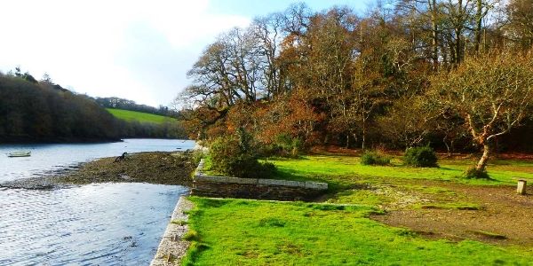
Powdershire

Coombe

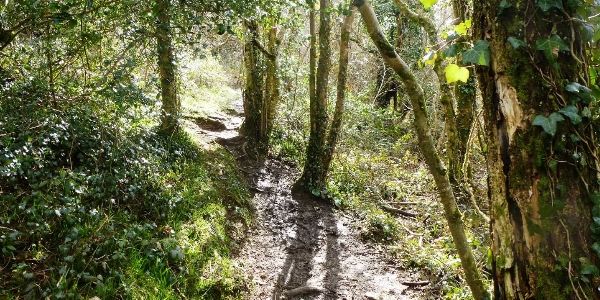
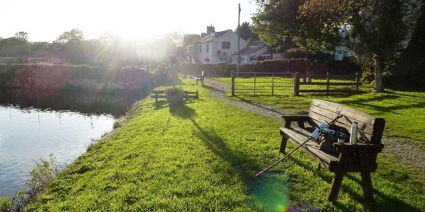
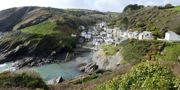
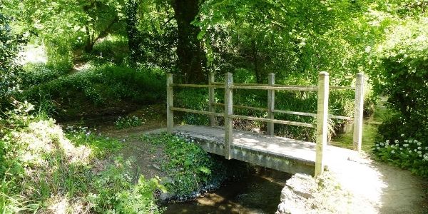
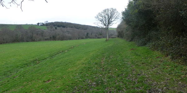
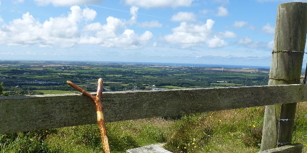
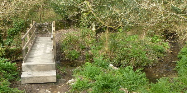
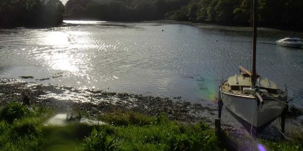
This is a gentle walk with a good mixture of road, lane, field, trees and water views. It affords us plenty of shelter on those hot days, plus the gentle cooling breeze which comes off the rivers. As is often the case, it is surprising that we can be so close to the City and yet so completely separated from it.

OS Explorer Map: 105
Start Ref: 835 414
End Ref: 835 414

Grading: Easy
Distance: 2.5 miles
Time: 1.5hrs

Devoran

Devoran

This is a shorter walk than the normal ones that I post, but this includes estuaries, lanes, woodland, fields, footpaths, bridleways, streams – in fact just about everything you could want in a short area (and there`s even a pub at the end!).


OS Explorer Map: 105
Start Ref: 791 394
End Ref: 791 394

Grading: Medium
Distance: 2.5 miles
Time: 1hrs

Hensbarrow Beacon

Hensbarrow Beacon

Hensbarrow Beacon is one of Cornwall`s five official Marilyn`s. It has a highest point of 312m, but unusually for a Marilyn it is not the highest point around – indeed it is flanked by the man made waste spoils of the China Clay Industry. However, this makes for an amazing and interesting view (especially as these spoils are being landscaped). As a point of interest, Hensbarrow Beacon is the original Meridian Point for all of the Cornish 1:25 000 maps.

OS Explorer Map: 106
Start Ref: 9920 5753
End Ref: 9920 5753

Grading: Easy
Distance: 1.25 miles
Time: 1hrs

Pentewan

Pentewan


Pentewan I have done this walk a number of times now, and have yet to meet another person, other than in Pentewan or at Trenarren itself. The whole area is beautiful and graced with excellent views. There are some steep uppy downy bits, and on the occasions that I have done this the farm gate areas are – let just say I was pleased to be wearing gators!


OS Explorer Map: 105
Start Ref: 030 490
End Ref: 030 490

Grading: Easy - Medium
Distance: 3 miles
Time: 2hrs

East Portholland to Portloe

East Portholland to Portloe

This coastal walk, is based on the south coast of Cornwall, and takes in both the hamlets of East and West Portholland as well as Portloe. It rewards us with sandy beaches, fishing villages, harbour walls and good old fashioned coastal walking.

OS Explorer Map: 105
Start Ref: 959 413
End Ref: 959 413

Grading: Medium
Distance: 4 miles
Time: 2.5hrs

Veryan

Veryan

This walk is a circular route that will take in villages, fields, coast, beaches and headlands. It will follow a stream in a tree lined valley as well as passing over a nuclear bunker and the site of a false wartime `town`. In short – it has everything.

OS Explorer Map: 105
Start Ref: 916 396
End Ref: 916 396

Grading: Medium
Distance: 8.5 miles
Time: 5hrs

Roundwood Quay - Mush's Walk

Roundwood Quay – Mush`s Walk

This walk is a lovely circular walk that takes us across fields and alongside creeks and rivers. At its middle point is the historic Roundwood Quay, with evidence of Iron Age importance and an important site to ship out Tin and Copper during the 1800/1900`s. This is a walk close to my families heart, as it was a favourite of my late father-in-laws, hence why I have also called it "Mush's Walk". Rest easy Paul Pennington, always in our thoughts.


OS Explorer Map: 105
Start Ref: 8280 4040
End Ref: 8280 4040

Grading: Easy
Distance: 2 miles
Time: 1hrs

Pendower

Pendower

This coastal walk on the south coast is rather pleasant as it has an inland `loop` and several spots at which to gain a refreshment. It takes in beaches, small headlands and fields and as hills go – not too many of any height. This walk will have given us plenty of opportunity to sit on a beach(or beaches) and just watch the sea. We may even have had the opportunity to chat to those manning the Lookout Station, and even left them a donation to keep this invaluable service running.


OS Explorer Map: 105
Start Ref: 897 383
End Ref: 897 383

Grading: Easy
Distance: 6 miles
Time: 3hrs

Newbridge

Newbridge

Newbridge, is the tiny hamlet on the outskirts of Truro, although very nearly engulfed as Cornwall`s Capital continues its expansion. This walk, takes us on the fields and valley behind the OLD Richard Lander School, and down to the railway line that separates Newbridge and Penwethers.


OS Explorer Map: 105
Start Ref: 799 444
End Ref: 799 444

Grading: Easy
Distance: 1.5 miles
Time: 1hrs

Tresillian

Tresillian

This circular walk is only a short distance outside of Cornwall`s capital (Truro) and affords us with superb views down the Tresillian River and out over the valley leading towards Probus. Mostly leading us through fields, we have the occasional woodland as well as criss-crossing the main train line to `up country` and a little spring which feeds Trevella Stream.


OS Explorer Map: 105
Start Ref: 863 461
End Ref: 863 461

Grading: Easy
Distance: 4.5 miles
Time: 2hrs

Tregony

Tregony

This gentle valley walk takes us along the broad and flat silted bed of the old (wider) River Fal, up towards an unusual pub before heading us up to great views and then heading back for a mile of road walking before picking up the valley floor to return to our start point.


OS Explorer Map: 105
Start Ref: 921 447
End Ref: 921 447

Grading: Easy
Distance: 4.5 miles
Time: 2hrs

Tregony

Goonvean

This short walk, is situated near Fraddon and has a number of advantages to it. First, it is centrally based for most people to get too. Second it commands far reaching views (on a good day) from Kit Hill and Bronn Wennili, down to St. Ives Bay and over to the South Coast. Finally, being just off one of the main roads through Cornwall, you can be enjoying a relaxing walk whilst listening to those poor unfortunates going backwards and forwards like ants! Makes you feel quite self-righteous.


OS Explorer Map: 106
Start Ref: 917 564
End Ref: 917 564

Grading: Easy (one steep hill)
Distance: 2 miles
Time: 1.5hrs

Penpol

Penpol

This is a delightful, short walk for those with not a lot of time but in need of a scenic walk. It has streams, a footbridge to play Pooh Sticks over, a woodland and an estuary view, with the added bonus of a quay to sit on with a picnic if you don`t mind a very short addition to our walk.


OS Explorer Map: 105
Start Ref: 813 392
End Ref: 813 392

Grading: Easy
Distance: 1.5 miles
Time: 1hr (slow walk)