Start Ref: 874 659
End Ref: 874 659
Distance: 4.5 miles
Time: 2.5hrs
We leave our car in the well signposted free car park, which is in behind the Village Post Office and Stores (make sure not to park in the pub car park which is adjoining). From here we are going to walk back towards the Church and then follow the road right and over the bridge, that will take us over the River Menalhyl for the first of four times. We follow the road up the hill until we find a Public Footpath on our left (that looks like a road) and is signposted to Gluvian and Mawgan Porth. We are going to follow this road until the footpath steps off to the right hand side and becomes a tree lined path before stepping over a stile and coming out at the top of a gently sloping field. If you look back from here you get a view all the way down the length of the Vale of Lanherne.
We follow this path until we come to the road (and a convenient refreshment stop), where we will now need to turn left and follow the road for a short distance. As we arrive at Gluvian Farm, we find a white lane on our left with Public Access over it. Before turning left down this lane, which is signposted as Unsuitable for Motor Vehicles, look up on the side of the farm building we have just passed. It has painted portraits of a Fisherman and a Miner enjoying Cornwall`s National Dish.

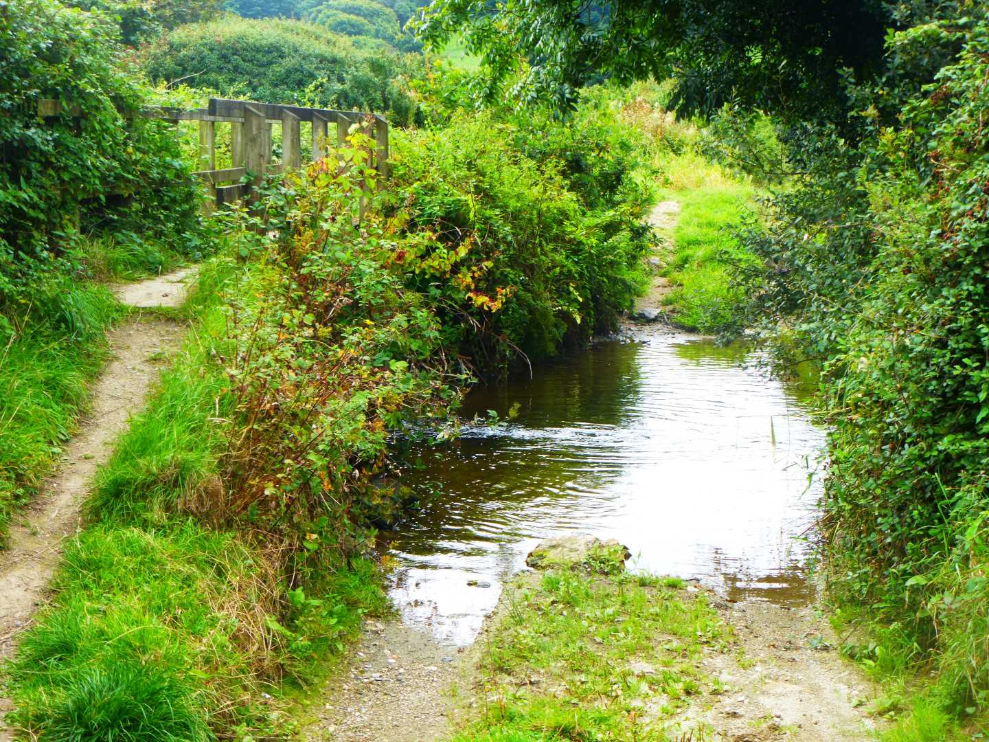
As this lane reaches its lowest point, we find a bridge to help us across the ford that is again the River Menalhyl, and we follow the path between fields until it becomes steeper as it rises up the valley edge to rejoin the road. At the road, we are again going to turn left and then follow it down as we walk to Polgreen Farm, through the gate and follow the made up path as it again leads us slightly up, along the side of fields until we start to get glimpses of Lanherne Convent, and then we are back at the road just behind the Church in St. Mawgan, and from here we are going to walk back towards the car park– but not quite!
We are now, if we are going to do the full walk, half way through. Outside the Village Post Office and Stores, we are going to follow the road around to the left and over the ford. Just over the ford, on the advice of our young helpers, we now follow a Permissive Path up the hill between the houses, until it brings us out on a road. Here, we are turning right and will follow for approximately ¾ of a mile, keeping to the right hand branch of the road at Trevenna Cross, and eventually turning right down the dead end road at Higher Tolcarne.
We follow this road until the signpost that takes us towards Lawreys Mill and St. Mawgan, and we follow this tree lined track as it leads us down to a lovely footbridge (to our left) that takes us, for the final time today, over the river. We cross over the bridge and then turn right until this path reaches a cross roads of sorts (the path directly opposite is Private), and we are again going to head to our right.

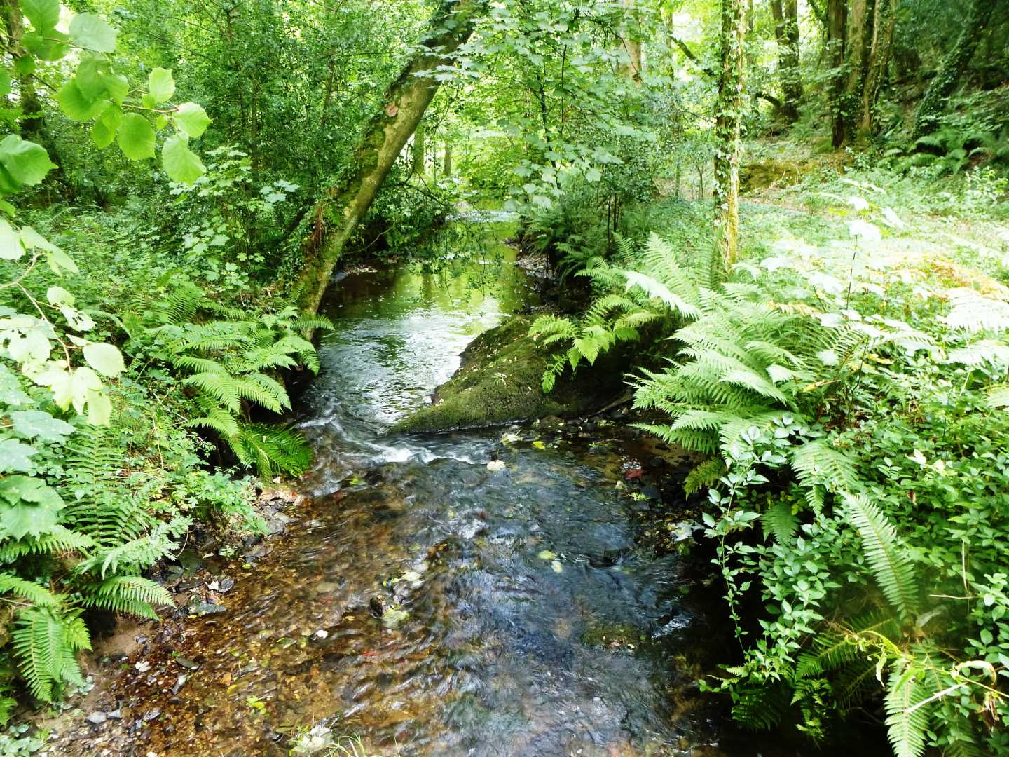
We are now in the Vale of Lanherne and can follow this path all the way back into St. Mawgan, but not before enjoying the wondrous Chestnut Trees, Sycamores and massive Rhododendrons and the colours they throw on our path. This path follows the river for all but one section, where it leads us slightly up, and here it is important that where the path splits left and right (with another path off over our left shoulder) that we take the right hand path that will lead us back towards the river.
At the end of the Vale, we find ourselves going through a cattle gate and realise that we are now back in the car park and at the end of our walk.
Can I suggest that rather than leaving St. Mawgan right away, stop a while and enjoy one of the Tea Rooms or the Pub, and savour a real thriving village, with its buildings that hint of an important past and a feel of being totally secluded apart from the sound of the odd plane coming in to land at Newquay Airport.!
I hope that you will enjoy this walk.